










25 Walkable Cities for Retirees
A city-by-city shortlist pairs neighborhood Walk Scores with transit fares, home values, climate, and a practical test for the trip to the pharmacy.
By Linda Cho, CFP®, Money Editor
Updated · 19 min read
The short answer: Walkable cities for retirees start with neighborhoods where groceries, a pharmacy, and transit sit close enough for daily trips on foot. New York City, San Francisco, Boston, and Philadelphia have strong walkable districts; smaller places like Ann Arbor deserve a look too. Compare the address, senior fares, home costs, weather, and a backup ride before choosing.
- Written by our money editor
- Cited 14 sources
- How we review

The pharmacy bag is light. The walk home feels longer than you expected. At the next crossing, you wait through the light because the curb looks awkward, then wonder how you’d make this trip without your car.
A city’s reputation won’t answer that question. Neither will a pretty downtown you’d have to drive to reach. The useful test begins at a front door: where can you get groceries, pick up medicine, see people, and catch a ride when walking has worn you out?
25Madison Wisconsin's Affordable Walkable Downtown

Madison gives you a reason to look past a citywide average. Its Walk Score is about 50, which falls in the “Somewhat Walkable” category. That number does not tell you whether a particular downtown apartment puts a grocery store within reach.
Price deserves its own check. Zillow listed Madison’s typical home value at about $426,000 in August 2026. That’s a city measure, not the asking price for a home near the errands you need.
Madison Metro listed a senior or disabled fare of $1 a ride and a $28 monthly pass when this article was prepared in 2026. Check the current fare page before budgeting. Then walk from a possible home to a stop and back with a grocery bag. The return trip counts.
24Ann Arbor Michigan's Walkable College-Town Core

In Ann Arbor, the neighborhood matters far more than the city name on an envelope. The city’s Downtown Housing Needs Assessment identifies its Downtown Study Area as the most walkable part of town, with a Walk Score of 92.
That is a promising place to start looking, not permission to skip a visit. Stand outside an actual building and pick the errands you would make in an ordinary week. Walk those routes rather than the most pleasant route to a café.
Where would you buy milk? Where would you wait for a ride home if rain started?
Also look at the entrance itself. A walkable district loses its value to you if reaching the sidewalk from a potential home is a nuisance. Keep the address, not the college-town label, at the center of your search.
23Burlington Vermont's Church Street Marketplace
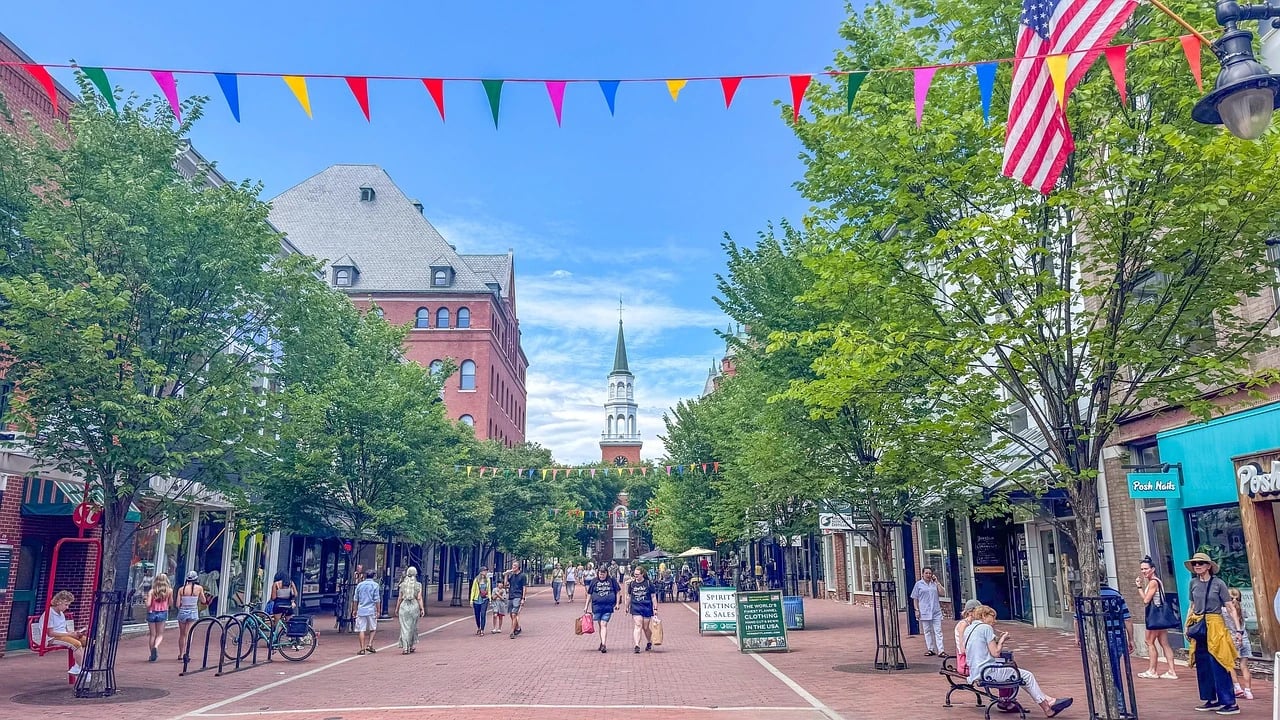
Church Street gives Burlington a clear pedestrian heart. The Church Street Marketplace describes a four-block pedestrian district with more than 100 shops and restaurants. If seeing people during an errand matters to you, that concentration is worth experiencing firsthand.
But restaurants do not fill every square on a household shopping list. Visit with that list in mind. Find the pharmacy and the groceries you’d actually use, then trace the walk from a possible home.
A pleasant afternoon on Church Street tells you how the district feels. The trip carrying toilet paper home tells you how living nearby feels.
Try the route without treating the marketplace as the destination. Walk through it on your way somewhere necessary. Does it make your day easier, or does it sit apart from where you would live? Burlington earns a closer look when those two places connect.
22Charlottesville Virginia's Downtown Walking Mall
Charlottesville’s Downtown Mall is an eight-block pedestrianized Main Street at the city’s core, according to Virginia’s Department of Historic Resources. Eight blocks give you room to walk, stop, and meet a friend without planning the outing around your car.
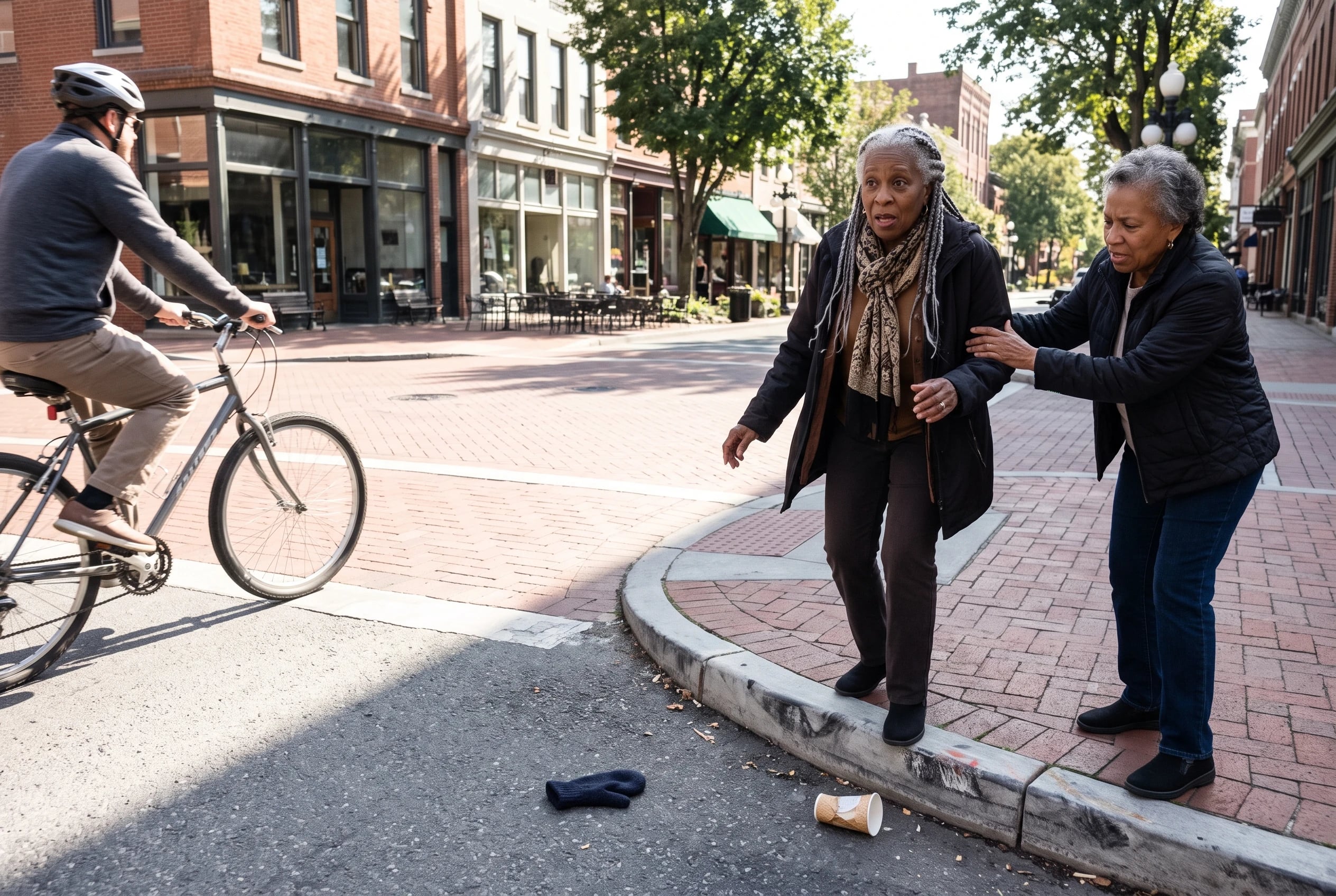
The part to inspect is where that pedestrian space ends. Pick a home you could picture living in and walk to the mall from its front entrance. Notice each crossing on the approach. Then keep going to an errand that wouldn’t be a day out, such as picking up medicine.
If you’re comparing homes outside the core, repeat the exercise there. Living near a walking mall and living a walkable daily life are separate questions. A map pin near the mall doesn’t carry shopping up the last stretch to your door.
21Rural Main Streets With Daily Errands

A smaller town can offer the face-to-face errands you want without a big-city address. Main Street America reported $9.4 billion in reinvestment, 10,623 net new businesses, and 36,549 net new jobs across 1,303 designated communities in 2025.
Those figures show activity across the program. They don’t tell you whether a particular Main Street has the store, pharmacy, and rides you need. Ask a much smaller question: What remains open and reachable when you need it?
Street design is worth inspecting too. Smart Growth America reports that more than 1,700 US jurisdictions have adopted Complete Streets policies. A policy is no substitute for looking at the crossing outside a potential home.
Walk the route to Main Street, look for a safe way across, then find out how you would get home if you chose not to walk.
20Minneapolis's Enclosed Downtown Skyway

A clear sidewalk in summer tells you little about a Minneapolis winter. The Minneapolis-St. Paul area averages about 51 inches of snow a year, according to Minnesota climate normals.
Downtown has a remarkable workaround. A City of Minneapolis report describes about 9.5 miles of enclosed skyway connecting roughly 80 blocks. Walk Score puts Downtown West at around 93.
Before you count the skyway as your winter route, trace where you would enter and leave it. Does it take you toward groceries and transit, or mainly between buildings you won’t visit? Walk the outdoor part as well, including the curb by your front door. The enclosed stretch helps only after you’ve reached it.
19Denver's Walkable Capitol Hill Blocks

You’re coming home from the store with a bag in each hand. Which crossing would you choose? That’s a better question for a possible Denver address than whether the neighborhood sounds walkable.
Capitol Hill has a Walk Score of 94, making it Denver’s most walkable neighborhood in Walk Score’s listing. Use that figure to find homes worth investigating. For each address, follow the grocery route all the way back, then check where you’d pick up medicine.
Beyond those blocks, RTD lists discounted fares for riders 65 and older, including airport travel. Confirm the current fare before budgeting.
Ride the service from the stop you’d actually use; a discount has little value when the route doesn’t get you where you need to go.
18Seattle's Lower Queen Anne Walking Routes

Try this sequence in Lower Queen Anne: leave a possible home, run an errand, and return by transit. You’ll learn about the outbound walk and the ride you’d want when you’re tired.
The neighborhood has a Walk Score of 92. That gives you a strong district to investigate, but the stop near one apartment won’t be the stop near another.
King County’s Regional Reduced Fare Permit serves riders 65 and older. Its first card is free. The fare information gathered for this article in 2026 put a Metro senior ride at about $1; check the current fare and participating services before you budget for trips.
Keep Lower Queen Anne distinct from other Seattle neighborhoods on your list. One neighborhood score doesn’t describe every street in the city. Write down the address and the stop that worked, or didn’t, while the trial is fresh.
17New Orleans's Walkable French Quarter

Could you do an ordinary weekday errand from a French Quarter home? Start there rather than where you’d begin a visit. Locate groceries and medicine, make the trip on foot, and decide whether you’d repeat it carrying a bag.
Redfin identifies the French Quarter as New Orleans’s most walkable neighborhood, with a reported Walk Score of 97. It’s easy to picture a day spent on foot. Your weekday trial puts that picture against the trips you actually need.
New Orleans RTA has published senior fare discounts. Its notice dates from 2021, so don’t use the pass prices in that announcement as current figures. Check RTA’s current fares before deciding what your rides home would cost.
16Honolulu's Waikiki Streets Year-Round

Snow won’t be the question on a Waikiki grocery run. Heat will. Honolulu’s mean annual temperature is near 78°F in NOAA’s 1991 to 2020 climate normals, but that annual figure won’t tell you how a particular afternoon walk feels.
Waikiki scores 89 on Walk Score, at the top of its “Very Walkable” range. Shops and services are part of that appeal. Test the trip from a possible home at the time you’d actually make it, then decide where you’d pause or catch a ride.
For longer trips, the Senior HOLO Card gives riders 65 and older discounted fares on TheBus and Skyline. Check the current fare before making a budget. Find the stop closest to your recurring errands, rather than the places you’d visit on a day out.
See more: 23 Best Vacations for Retirees →
15Portland Oregon's 20-Minute Neighborhoods

Portland’s planning documents describe “20-minute neighborhoods,” where daily needs sit within a short walk. It’s an appealing goal. Portland’s citywide Walk Score of about 67 gives you a reason to inspect individual neighborhoods rather than assume that goal is true at every address.
Try putting a timer on a grocery trip from a possible home. Include the crossing, the walk into the store, and the trip back with what you bought. A destination that looks close on a map can feel different after you’ve done the errand.
TriMet’s Honored Citizen fare is available to riders 65 and older. TriMet fare media also covers Portland Streetcar and C-TRAN Local and Regional service. Check current prices and the routes serving the homes you’re considering. The plan describes the city’s ambition; your completed errand describes your day.
14Chicago's Loop and Lakefront Trail

Chicago gives you two very different walks. The Loop has a Walk Score of 95, with errands close enough to investigate on foot. The Lakefront Trail runs 18 miles. It offers a long walk, but it won’t replace a trip to the grocery store.
When you visit, separate those purposes. Walk the blocks around a possible home first. Then enjoy the lakefront as the outing it is. You want both daily usefulness and somewhere you’d choose to go.
Chicago Transit Authority says riders enrolled in Illinois’s Benefit Access Program ride CTA, Metra, and Pace free. That program has eligibility requirements; age alone doesn’t establish your right to a free ride. Check the current rules before you include free fares in your budget.
13Miami's Brickell Avenue Crossings
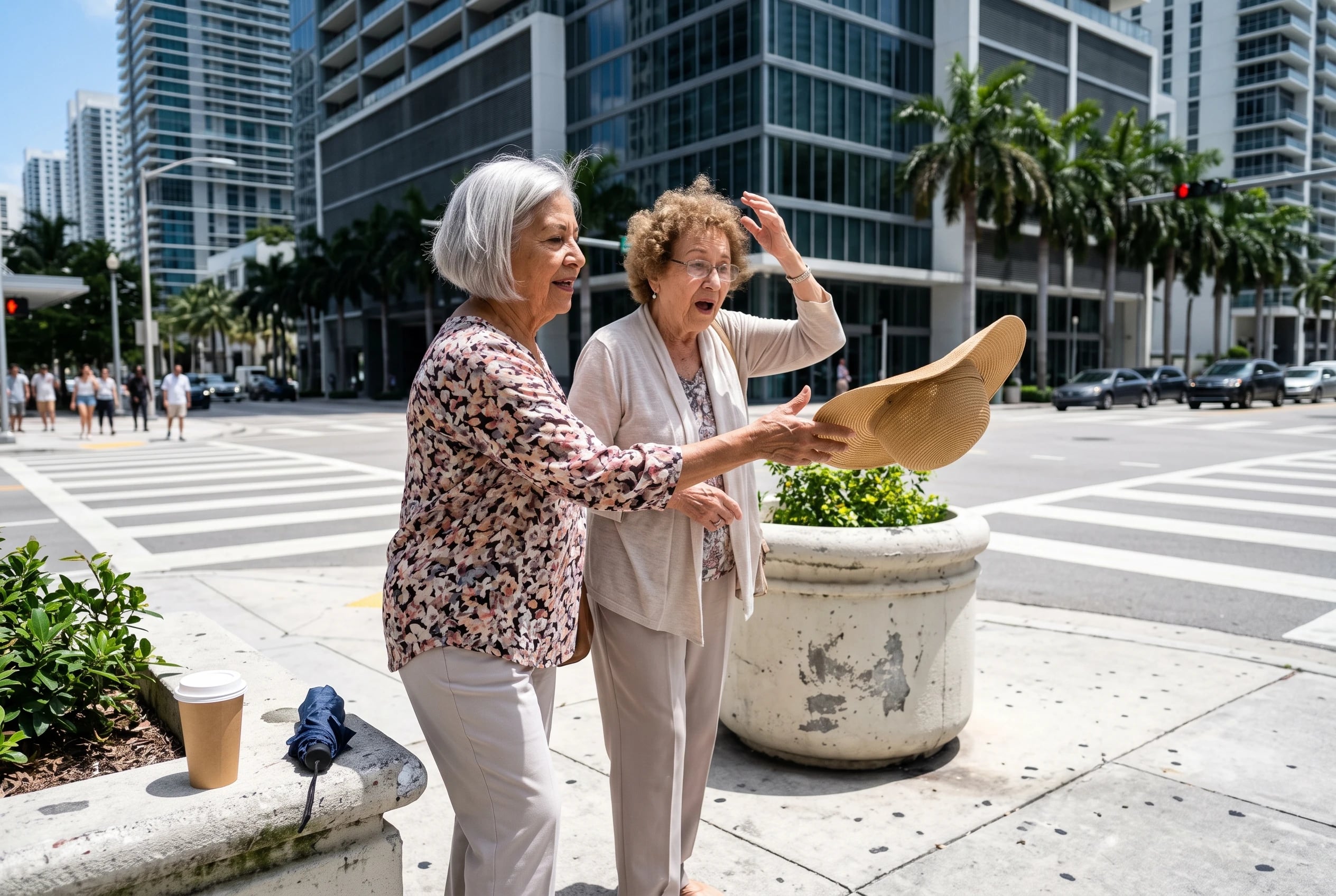
A block on Brickell Avenue scores 99 on Walk Score. Plenty is close. Your next question is what stands between the apartment door and those destinations.
Miami-Dade has adopted a Complete Streets approach to street design. Visit the blocks you’re considering and judge what is there now. Can you cross where your grocery route requires it? Is there a comfortable place to wait?
The county’s Golden Passport EASY Card gives free county transit rides to permanent Miami-Dade residents 65 and older. Confirm the current application and residency rules if that benefit is part of your plan.
First, try walking the route. Then try returning by transit. Brickell’s score starts the conversation; those two trips finish it.
12Washington DC's Walkable Historic Grid

Washington’s street pattern gives you choices on foot. The National Park Service describes the 1791 L’Enfant Plan as broad diagonal avenues laid across a traditional grid. You see that pattern when a walk offers more than a single straight route.
Walk Score lists Dupont Circle and U Street among the city’s highly walkable neighborhoods. Keep the search at neighborhood scale. Pick an address, choose a pharmacy, and walk the route you’d use on an ordinary day.
Pay attention where the diagonals meet other streets. A route that looks short on your phone still has crossings. Walk an alternative homeward path as well. Having a choice is useful when one route feels unpleasant or when you simply want to see people on the way back.
11Philadelphia's Compact Center City Streets
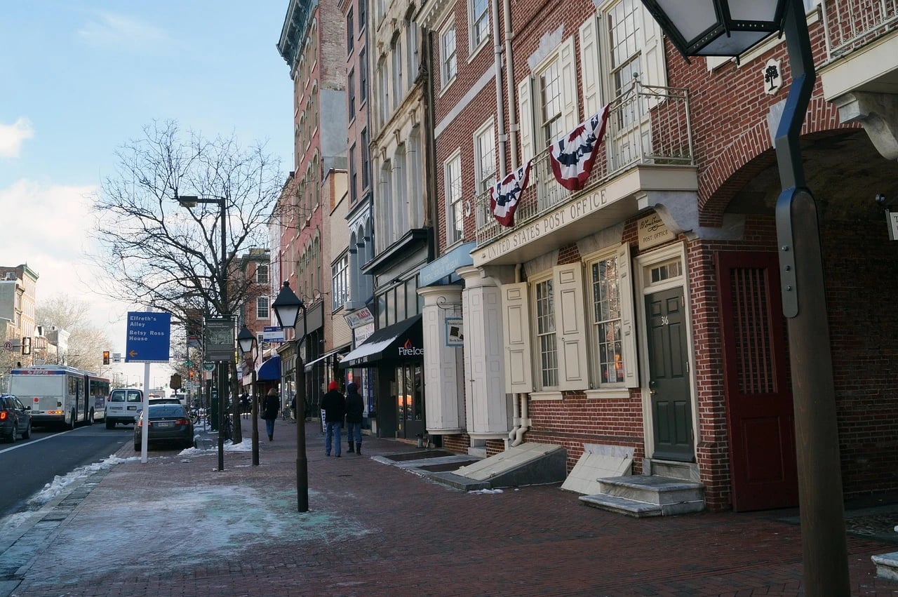
Center City offers an unusually clear sense of scale. Center City District says you can cross its river-to-river core on foot in about 45 minutes. That does not mean you’ll want every errand to be that long. It means you can measure possible homes against a compact center.
The price comparison is striking. Zillow put Philadelphia’s typical home value at about $234,000 in August 2026, versus about $775,000 for Boston that month. Both are citywide figures, not prices for the walkable homes you’re weighing.
Make a shortlist of actual addresses. For each, walk to the store you’d use, then check the home’s price. Philadelphia’s citywide value is a reason to investigate. The asking price and the daily route decide whether it works for you.
10Boston's Beacon Hill and Freedom Trail

Boston’s Beacon Hill scores 99 for walking and 100 for transit. Those numbers earn the neighborhood attention if you want to live with less driving. They don’t tell you which home fits your budget or how the walk from its door feels.
For a first outing, the National Park Service’s Freedom Trail runs 2.5 miles and links 16 historic sites. It’s a way to spend time on city sidewalks. Afterward, walk a less memorable route: from a possible home to groceries.
Boston’s typical home value was about $775,000 in August 2026, according to Zillow. That city figure should send you to actual listings before the appeal of Beacon Hill carries you away. A lovely walking route matters. So does being able to afford a front door near it.
9San Francisco's North Beach Blocks

North Beach has a Walk Score of 99. San Francisco also appears among Walk Score’s most walkable large US cities. If you want errands and street life close together, it deserves a look.
Bring the housing budget into that look early. Zillow’s April 2026 market report put San Francisco’s typical home value at about $1.14 million. That is a citywide value, not a North Beach quote.
On a visit, start with homes you could afford to occupy. From each one, make a grocery run and find a transit stop. A neighborhood score tells you what surrounds an area; your actual address determines what surrounds you. There’s little comfort in being close to everything except a suitable home.
8New York City's Two Walkable Neighborhoods

New York shows why a neighborhood score beats a sweeping city label. The Upper West Side has a Walk Score of 98 and Transit Score of 100. Greenwich Village has a Walk Score of 100. Both invite a car-free trial, but they aren’t interchangeable addresses.
Choose one possible home in each area. Walk to groceries and medicine, then take transit for an errand farther away. New York’s MTA Reduced-Fare Program gives riders 65 and older half-price subway and bus fares. Check its current card instructions before your trial.
Notice how you feel at the end of each trip. Did you get home easily with what you bought? Could you change plans without retrieving a car? A perfect neighborhood score is impressive. The freedom you’re looking for has to work from a particular doorway.
7Walk Score Ratings for Walkable Cities for Retirees
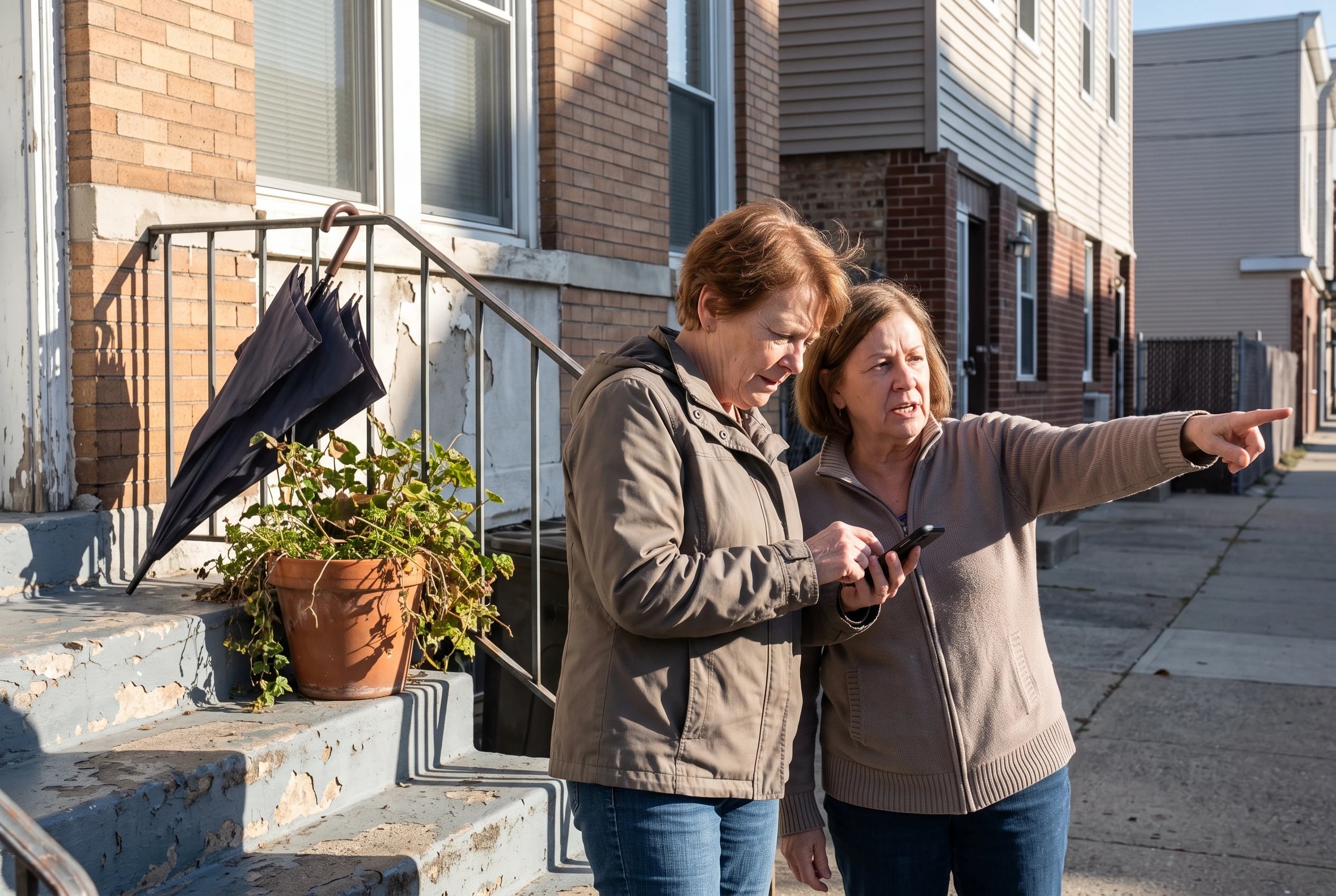
A score of 90 sounds decisive. What does it measure? Walk Score’s methodology gives more weight to amenities at shorter distances. It points you toward nearby errands without checking the crossing or the entrance to a home.
Peer-reviewed validation work supports using Walk Score groupings to study neighborhoods. For your home search, open the score for a specific address, then walk the routes you’d rely on. A number helps narrow the list. It doesn’t carry your groceries across the street.
6Hospital Trips From a Walkable Home

Put a medical appointment on your walking map before you need one. Find the entrance you’d use, the transit stop you’d leave from, and the route home when you’re tired.
Boston gives you a concrete example to investigate: Massachusetts General Hospital sits in the Beacon Hill and West End area. In Manhattan, Mount Sinai West serves central neighborhoods, according to its visitor directions. A hospital near a walkable district does not mean every apartment there has an easy medical trip.
Use your own providers for the test. Write their addresses into your phone, check the transit route, and visit the destination from a potential home. Pay attention to the final walk after you get off. Then work out how you’d return if you didn’t want to walk either way.
5Heat and Snow on Walking Routes

Weather changes which trips you’ll choose to make on foot. The CDC counted 2024 heat-related deaths by age group. Adults ages 65 to 74 accounted for 21.1%, the largest share among those groups. Heat belongs in your housing decision, not in a footnote.
Cold presents a different route problem. Minneapolis-St. Paul averages about 51 inches of snow annually. Look at the stretch between a home and transit, especially where you’d cross the street.
Honolulu’s annual mean temperature is near 78°F in NOAA’s climate normals. That removes the snow test, not the need to plan around heat.
Visit a candidate route in less-than-perfect weather when you have the chance. If a walk stops feeling workable, identify the ride you would take instead.
4Senior Transit Cards for Longer Trips

The card in your wallet is only useful if you can reach a stop. From a potential home, take the bus or train to an errand you expect to make. Find out where you’d board for the return.
The fare rules differ. New York’s MTA offers half-price subway and bus fares for riders 65 and older. Miami-Dade’s Golden Passport gives free county rides to permanent residents 65 and older; confirm the current residency and application requirements before counting on it.
In the Seattle area, King County’s Regional Reduced Fare Permit serves riders 65 and older, and the first card is free.
These offers were checked against fare information available in 2026. Prices and application rules change, so check each agency’s current page before making a budget. A low fare won’t solve an exhausting walk to the stop. Nor will a card you haven’t confirmed you qualify to use.
See more: 25 Numbers That Show How Much Retirees Spend Per Month →
3Pedestrian Crossings for Solo Walkers

The most important block on a tour might be the one where you cross for groceries.
Smart Growth America reported that 7,341 pedestrians were struck and killed nationwide in 2021. That national figure cannot tell you which city is safest for you.
A local policy cannot answer by itself either. More than 1,700 US jurisdictions have adopted Complete Streets policies, according to Smart Growth America. Look at the crossing that exists today, at the time you expect to use it.
Walk the route alone if that’s how you’ll run errands. Where do you wait? Can you see approaching traffic? Does the return trip leave you looking for a different crossing?
For a trip you’d rather not make on foot, King County’s Taxi Scrip Program is an option for riders 65 and older. Check its terms before treating it as your ride home.
See more: 23 Trips for Solo Seniors (Group Tours, Cruises and Easy Firsts) →
2Backup Rides When Walking Gets Harder
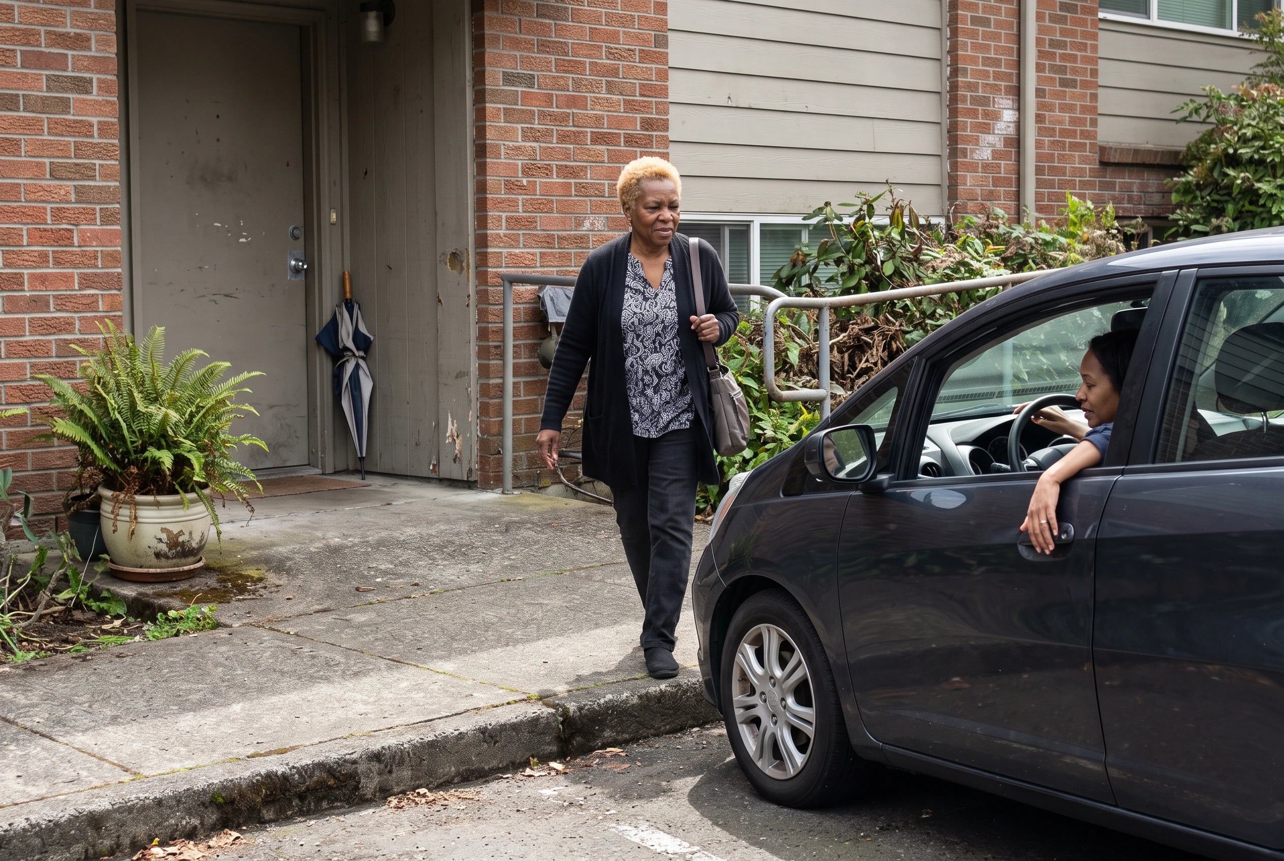
What happens when the errand is necessary but the walk is too much? Find the answer before you choose a home. A nearby store helps less if you have no comfortable way back on a difficult day.
In Portland, TriMet LIFT provides ADA paratransit for riders unable to use fixed-route service because of a disability. Eligibility matters; getting older alone doesn’t establish it. Read TriMet’s LIFT rules before treating the service as your backup.
King County also lists Taxi Scrip for riders 65 and older. Its Subsidized Annual Pass serves eligible riders with low incomes. These are different programs with different rules.
For any city you’re considering, write down a trip you’d make without walking home: a medical appointment, groceries, or an evening visit. Find the service, check whether you qualify, and trace how you would request the ride. Independence includes knowing the fallback before you need it.
1A Side-by-Side Comparison of Walkable Retiree Cities

Give each finalist its own row. Start with the exact home address, rather than a city average. Walk Score’s city pages show walking, transit, and biking scores; look up the neighborhood or address you’re weighing as well.
Then fill in the gaps no single score covers:
| For each finalist | What to put beside the address | |---|---| | Daily errands | The grocery and pharmacy routes from its front door | | Housing cost | The current asking price, alongside Zillow’s citywide typical home value for context | | Weather | Temperature and snowfall from NOAA’s 1991 to 2020 climate normals | | Longer trips | The transit stop, current fare rules, and a ride home when walking isn’t workable |
Don’t compare a neighborhood score with a citywide home value as though both describe the same property. One tells you about nearby destinations; the other gives you broad price context. The current listing and the route from its door belong in the same row.
Now visit your finalists. Complete the ordinary errand, return carrying something, and record the trouble spots before the next visit blurs them. A side-by-side sheet earns its place when it helps you decide which whole trip you’d repeat.
The bottom line
A walkable city helps when the address, errands, crossings, transit, and housing cost work together. A high score alone won’t get a pharmacy bag home.
The well-prepared version of you has tried the ordinary trips, checked the current fares, and found a ride for days when walking isn’t the plan. Which trip from your current home tells you most about what you’d want to change?
Up next
23 Best Places to Winter for Retirees on a Budget
Compare winter bases using rent benchmarks, entry limits, and RV rates, then check the address and dates before you book.
Read the list →


Reader quiz
Did you catch the details?
5 questions from this article.
What should you check before counting the skyway as your winter route?
Questions people also ask
What are the top 5 walkable cities in the US?
New York City and San Francisco sit near the top of Walk Score’s large-city rankings, with Boston and Philadelphia also strong contenders. The fifth place changes with the ranking year and how the list is defined. Check Walk Score’s current cities page for the exact top five rather than relying on an old list.
Do people who live in walkable cities live longer?
The research here does not establish that living in a walkable city makes you live longer. A US cohort study linked greater neighborhood walkability with more walking for transportation. That is an association, not proof of a longer life.
What is the most affordable walkable city?
Among the large walkable cities compared here, Philadelphia has the lowest cited citywide typical home value: about $234,000 in August 2026. That doesn’t establish the price of a home in walkable Center City. Compare current listings at the addresses you’d actually consider.
Is it safe to retire without a car?
A car-free plan needs walking routes you’re comfortable using, transit, and a ride for trips you don’t want to make on foot. Smart Growth America recorded 7,341 pedestrian deaths nationwide in 2021, so inspect actual crossings rather than assuming a high Walk Score settles safety. Check backup services and their eligibility rules before you move.
What is a good Walk Score for a retiree?
Walk Score defines 70 to 89 as “Very Walkable,” where most errands are doable on foot. Scores from 90 to 100 are “Walker’s Paradise,” where daily errands don’t require a car. Start your search at 70 or higher, then test the routes from a specific front door.
Did any of these feel familiar?
Know someone who needs this?
 Prime Journal · Free printable
The Everyday Money Checklist
- Your upcoming bills and automatic payments stay in view.
- Your account access and family loans have clear boundaries.
- Your Medicare questions are ready before you call.

Free printable: The Everyday Money Checklist. Enter your email and it is yours.
Sources cited in this article
This article links to 14 outside sources, listed here so you can read them yourself.
- Current fare page madison.gov/metro/fares
- Main Street America reported mainstreet.org/our-network/collective-impact
- RTD lists discounted fares www.rtd-denver.com/fares-passes/fares/discounted-fares
- Senior HOLO Card www.honolulu.gov/dts/fares-senior
- Lakefront Trail runs 18 miles www.chicagoparkdistrict.com/lakefront-trail
- Golden Passport EASY Card wwwx.miamidade.gov/global/service.page?Mduid_service=ser1519934358967260
- National Park Service describes www.nps.gov/articles/dc-monumental-core-the-lenfant-plan.htm
- National Park Service’s Freedom Trail home.nps.gov/thingstodo/walk-the-freedom-trail.htm
- New York’s MTA Reduced-Fare Program access.nyc.gov/programs/mta-reduced-fare-program
- Walk Score’s methodology www.walkscore.com/methodology
- The CDC counted 2024 heat-related deaths www.cdc.gov/mmwr/volumes/75/wr/mm7534a3.htm
- Smart Growth America reported www.smartgrowthamerica.org/knowledge-hub/news/the-state-of-complete-streets-…
- Walk Score’s city pages www.walkscore.com/cities-and-neighborhoods
- NOAA’s 1991 to 2020 climate normals www.ncei.noaa.gov/products/land-based-station/us-climate-normals
Linda Cho, CFP®
Money Editor
Linda is a certified financial planner who spent two decades advising retirees before joining Prime Journal.
More from Linda Cho