23 Things That Make a City Kind to Slow Walkers
The crossing button reveals the difference: whether you reach the next curb at your own pace, with time to spare on the signal.
By Margaret Hale, Travel & Lifestyle Editor
Updated · 15 min read
- Written by our travel & lifestyle editor
- How we review
Read to the end: #1 is a crossing test that shows whether your route gives you enough time, and almost nobody does it.
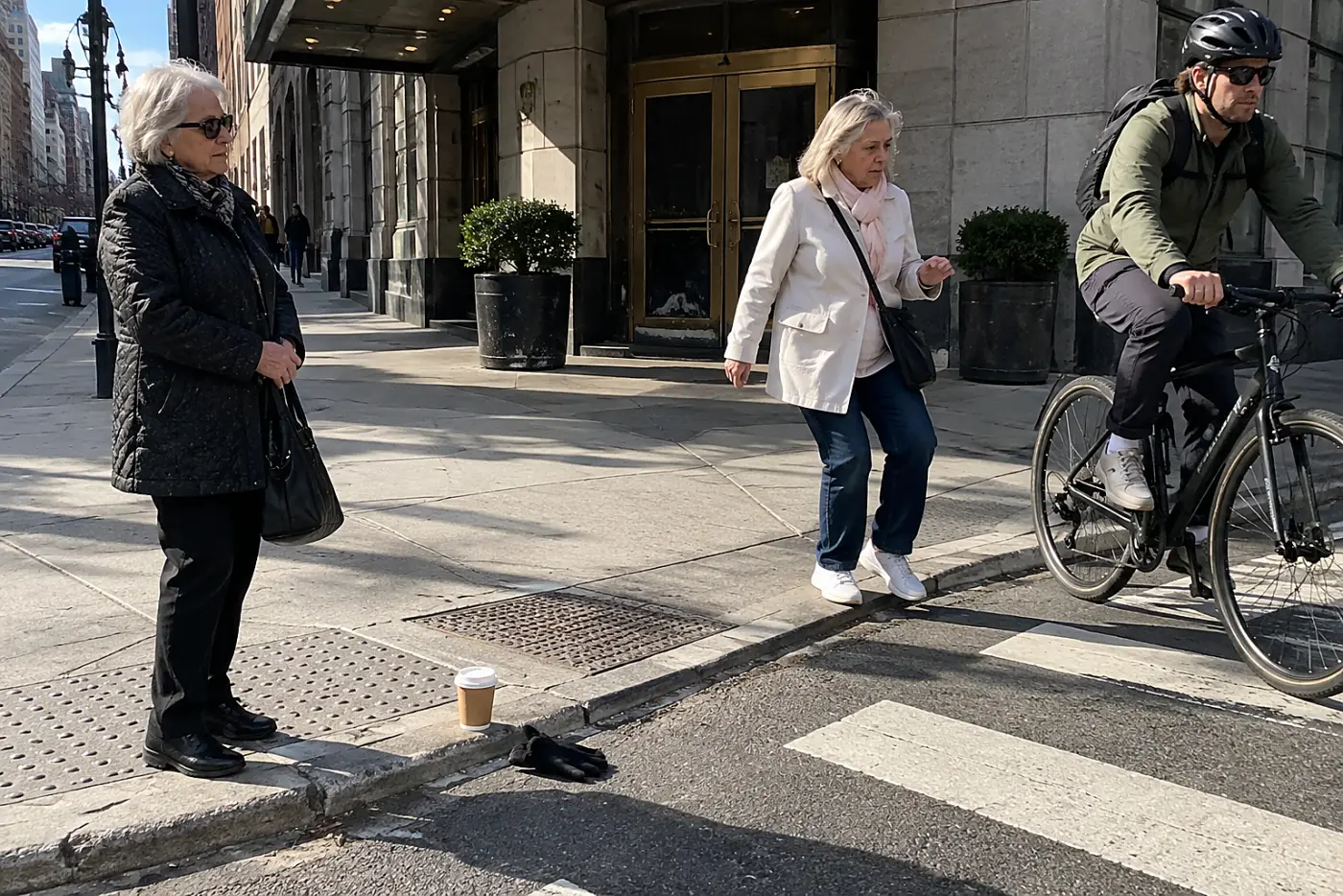
The white walking figure appears. You step off the curb, notice the countdown, and start doing arithmetic with your feet. Someone behind you moves around your shoulder before you reach the middle. You keep walking, but your attention has shifted from the cars to the numbers on the signal.
You didn't cause the short signal or put the hotel on the far side of a six-lane road. A city that's pleasant at your pace gives you places to pause, ways around hard crossings, and enough information to choose before you set out. The route, rather than the people behind you, should set the terms of the walk.
Here are 23 things to look for before the next walk asks you to hurry.
23A park bench facing the footpath
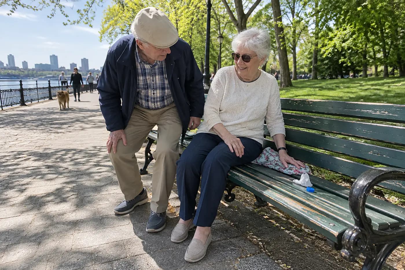
A long, benchless stretch turns a pleasant walk into a commitment.
A bench lets you stop without stepping into a doorway or blocking anyone. Its position matters: a seat beside the path keeps the walking line clear. The National Park Service publishes maps for many of its urban sites, but a map symbol won't tell you whether a particular seat is free or in shade.
If the next seat is farther than you want to walk, the route decides your pace for you.
This week, look at recent street-level photos around one place you plan to visit. “Is there somewhere to sit between the entrance and the station?”
Once you've found a seat, check what happens when you get up again.
22A level sidewalk past the storefronts
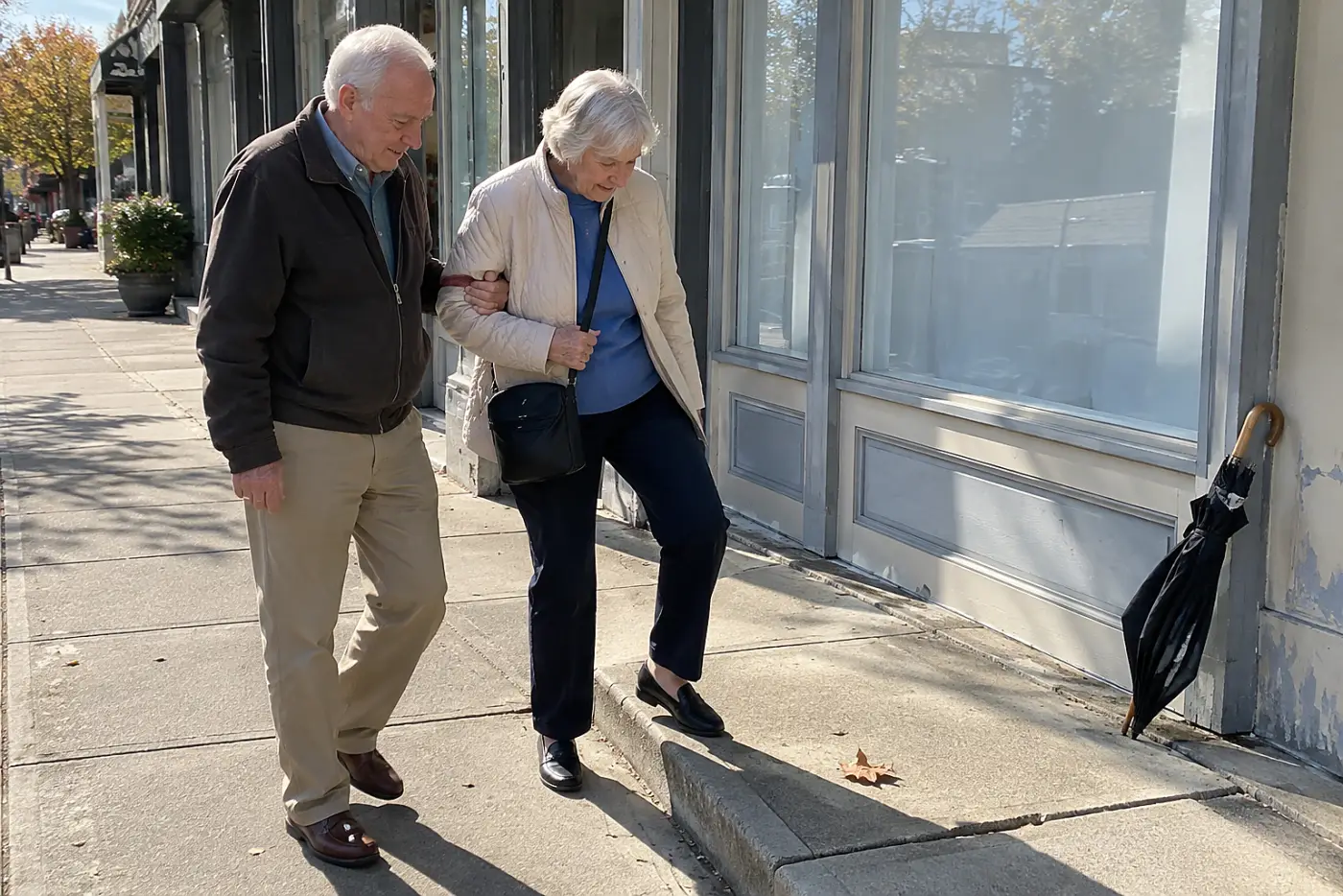
One broken slab changes how you walk the next block.
A level sidewalk lets you look ahead instead of studying every step. Tree roots, utility covers, and café furniture narrow the usable part, even when the pavement looks wide on a map. The U.S. Access Board publishes public right-of-way accessibility guidance; it doesn't certify the sidewalk outside your hotel.
A smooth street on a visitor brochure tells you little about the corner you must cross to reach dinner. That corner is where a hurried stranger ends up at your heels.
This week, open street-level images for the actual blocks between your hotel and your first stop. Look for raised slabs and objects in the walking line. “Is the sidewalk clear all the way to the entrance?”
A good sidewalk still needs a usable way off it.
21Curb ramps on both sides of the street
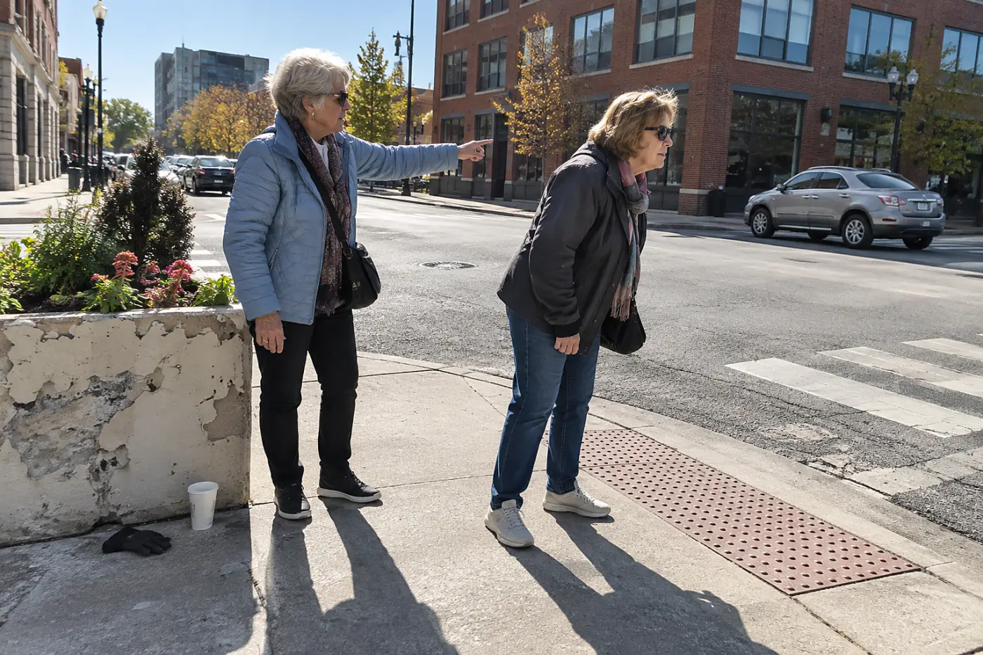
A ramp on one corner doesn't finish the crossing.
The opposite corner needs its own usable landing. If the ramp points into traffic or ends at a pole, you have to correct course while other people keep moving. The Americans with Disabilities Act sets accessibility requirements, but a photograph tells you more about the corner you'll use tomorrow.
Without a clear landing, the final steps feel more rushed than the crossing itself.
This week, inspect both ends of one crossing on a map with street images. “Where does the ramp land across the street?”
Then notice what tells you when to leave the curb.
20An audible signal at the crossing button

A silent signal keeps your eyes fixed on traffic lights.
At an accessible pedestrian signal, sound or vibration gives information about the walk phase. That leaves you less dependent on watching a distant symbol while tracking turning cars. The Federal Highway Administration's Manual on Uniform Traffic Control Devices covers pedestrian signals; equipment still differs from corner to corner.
A signal you can't hear or locate doesn't help when you arrive at a crowded curb. You need to know which button serves the crossing you intend to take.
This week, note the exact intersection beside your lodging and check its street-level view for a push button. If you're already there, stand clear while you locate it before the walk phase begins. “Does this button serve the crossing toward the museum?”
The next question is what happens once you've stepped off.
19A raised island midway across the road
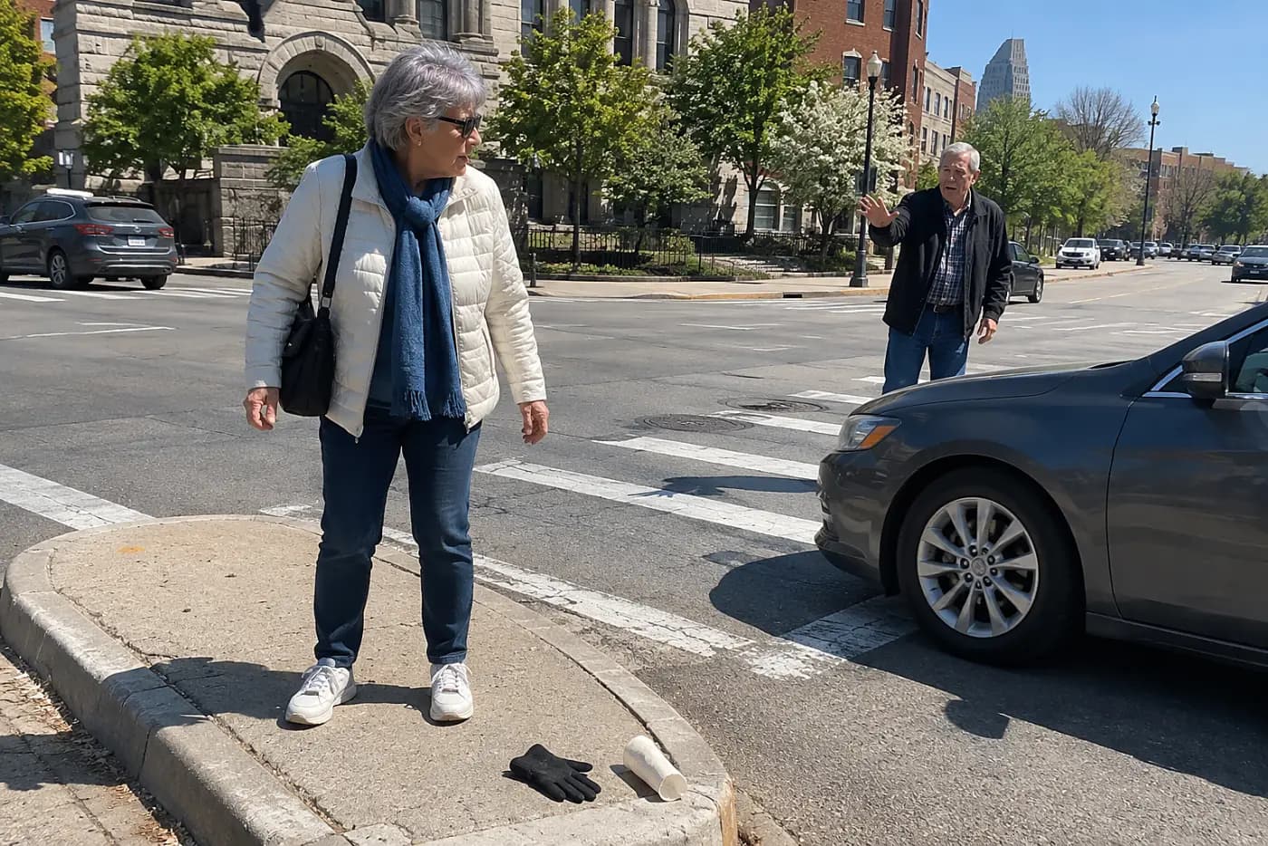
Six lanes feel shorter when the middle is a real stop.
A pedestrian refuge splits a crossing into two parts where one is provided. A painted stripe alone doesn't protect a person waiting between traffic lanes. Look for a raised island with space to stand and a clear view of the next signal.
Without that space, stopping halfway leaves you exposed and conspicuous.
This week, zoom in on the broadest crossing on your planned route. Look for a raised center area, not just paint. “Is there a refuge in the middle of this crossing?”
Even a good island won't fix a turn that cuts across your path.
18A left-turn lane beside your crossing
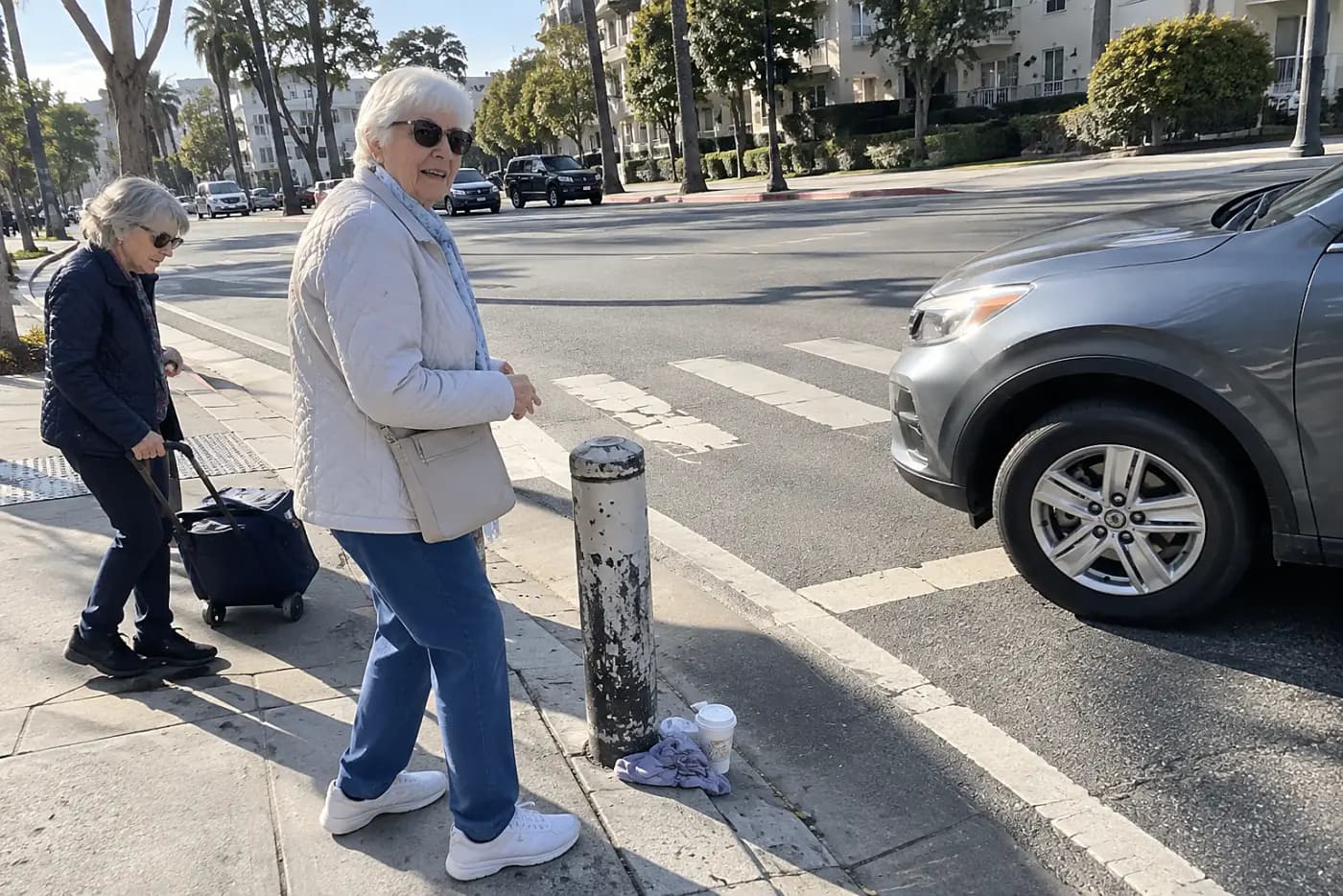
Turning traffic steals attention from the clock.
Drivers making a left turn cross the pedestrian path while watching gaps in opposing traffic. A separate turn signal changes when those movements meet, but you can't assume a particular intersection has one. The Federal Highway Administration describes street designs that separate or slow conflicts.
When a driver starts turning, you shouldn't have to speed up to get out of the way. Watching one full signal cycle tells you more than the painted arrows alone.
This week, watch the intersection from the sidewalk before using it. Notice whether turning cars move during the walk signal. “Is there another crossing with fewer turning cars?”
That alternate crossing is only useful if it leads where you need to go.
17A station exit on the correct corner
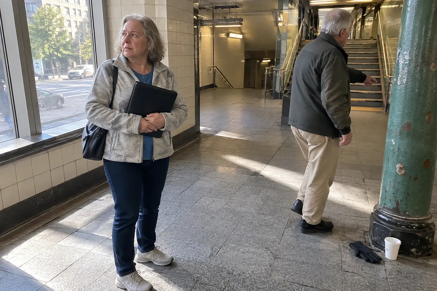
The wrong exit adds an entire crossing to your trip.
Large stations have several exits, and the nearest stairs aren't always nearest your destination. An exit map shows the street name before you join the stream headed upward. For New York trips, the MTA posts station information; elsewhere, use the local transit operator.
An extra crossing is a poor reward for choosing the fastest train.
This week, match your destination's address to a station exit before saving the route. “Which exit puts me on the same side of the street?”
Now check whether getting out requires stairs.
16A working elevator inside the transit station
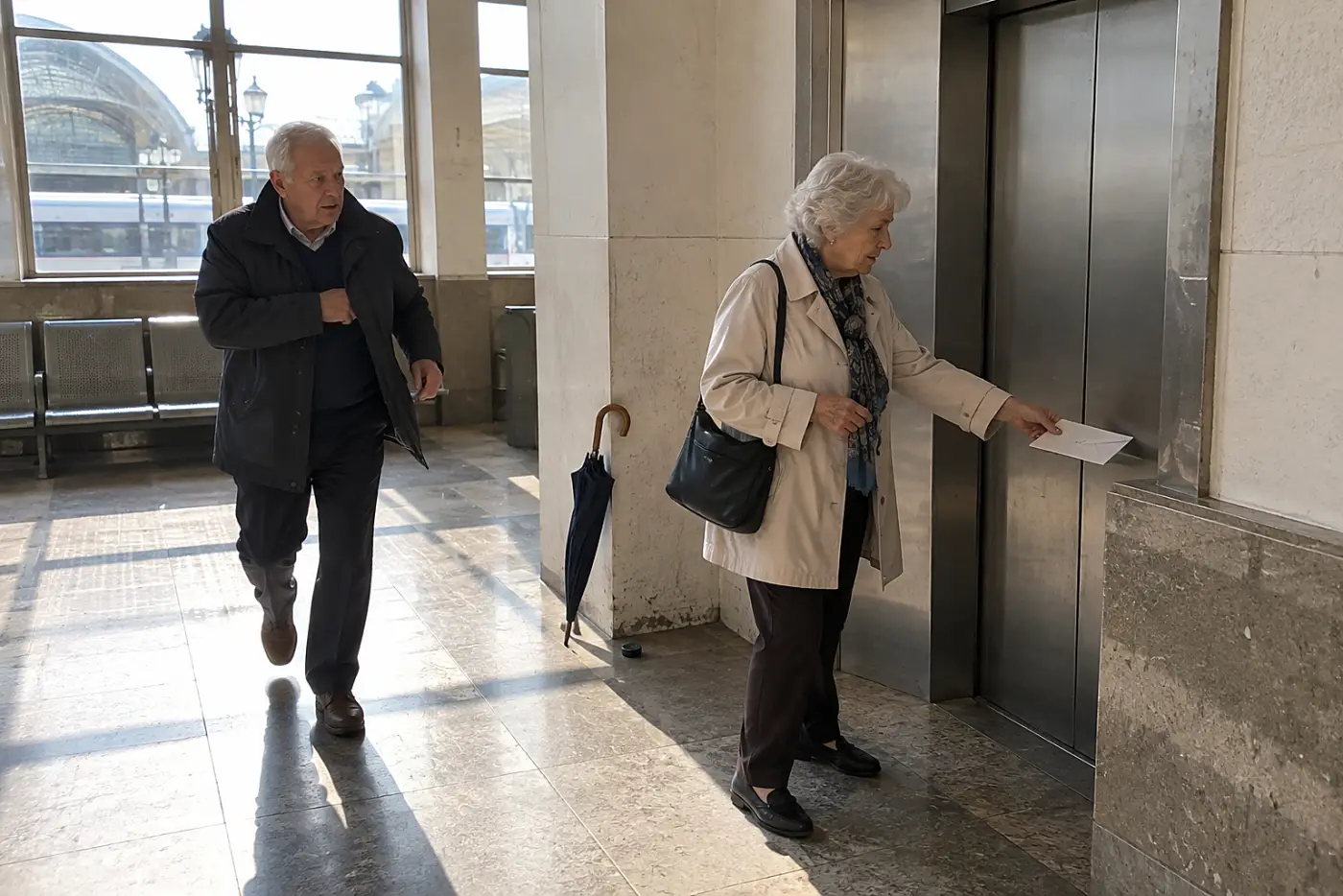
An elevator icon doesn't mean the elevator works today.
A station map shows you where the elevator belongs. A service alert tells you whether you'll find it running when you arrive. The MTA posts elevator and escalator status; look for the equivalent alert from the operator serving your trip.
A broken elevator forces a choice at the worst moment: stairs, a long transfer, or another station. None gets easier while passengers gather behind you.
This week, find your transit agency's elevator status page and bookmark it beside your ticket. Check it again before leaving each morning. “If that elevator is out, which station has a working step-free exit?”
Once you're at street level, the distance to the next vehicle matters.
15A bus stop beside the destination entrance

A bus route isn't helpful if its stop is far away.
Maps show where the line runs, but the stop location determines your final walk. Look at the stop in each direction; the return stop sits across the street on some routes. Google Maps shows walking segments, while the local transit operator confirms current stop locations.
Miss the return stop, and the trip ends with an unwanted crossing.
This week, save both stop pins for one outing, not just the destination pin. “Where do I board for the ride back?”
The waiting place deserves its own look.
14A bus shelter with an open bench
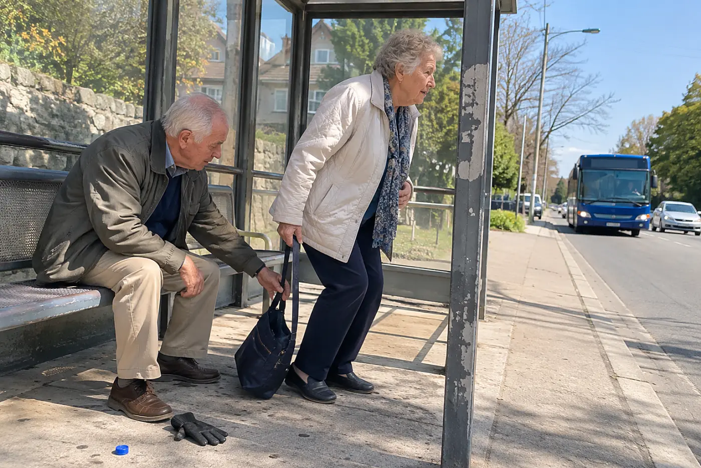
Waiting standing up spends energy before the visit begins.
A shelter cuts exposure to rain or sun, while a bench gives you a genuine pause. Check the view carefully: advertising panels and narrow seats don't guarantee a place you want to use. A stop can also move during construction, so the local transit agency's service alerts matter more than an old photo.
If the only seating is across the road, it won't help when your bus arrives.
This week, look at street images of the stop nearest a place you want to see. Then check the transit agency's alerts for that route. “Is the stop still at this corner, and is there seating there?”
The ride itself should end without a sprint to the door.
13A low-floor bus on the route
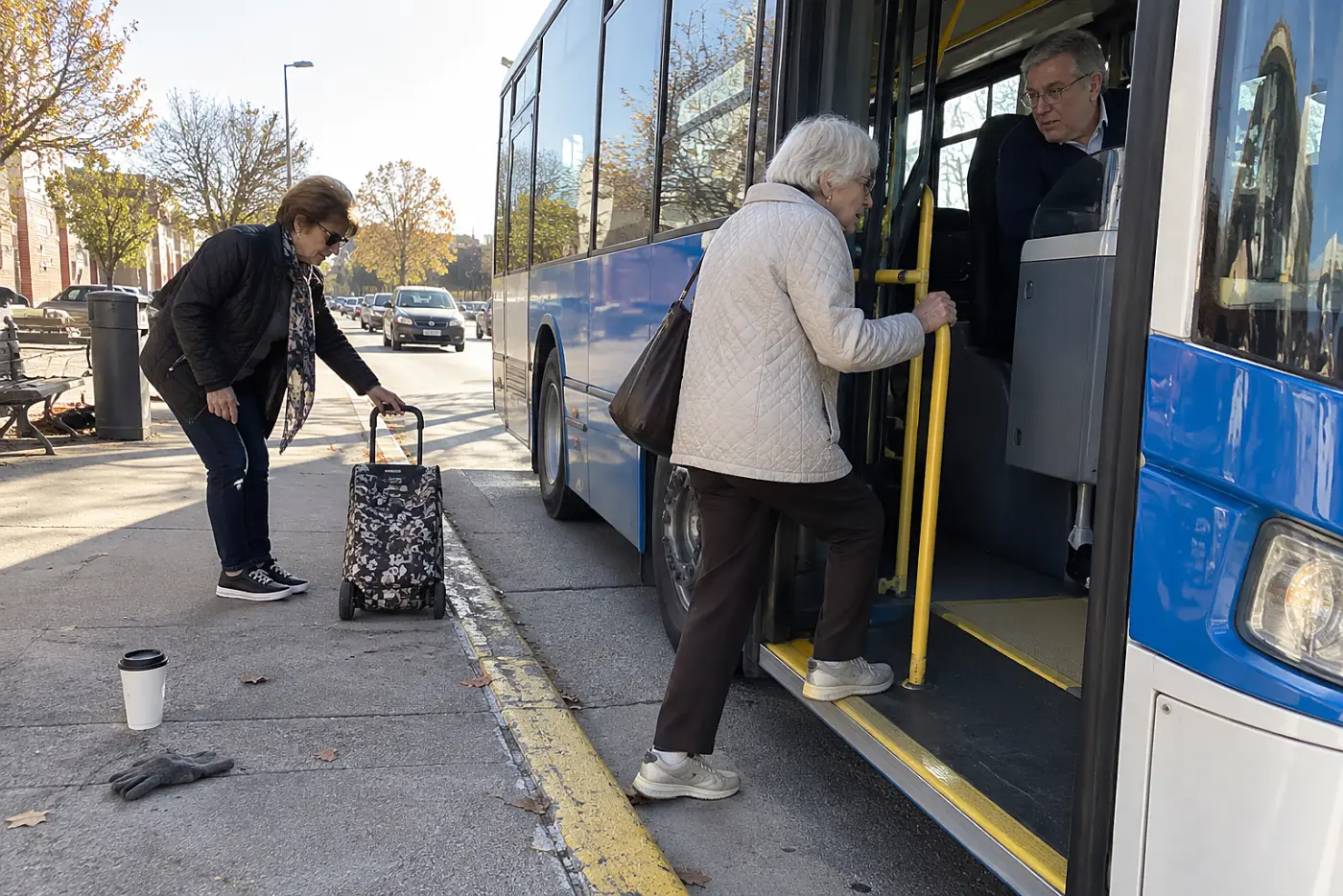
A high first step changes the whole boarding experience.
Low-floor buses reduce the climb from curb to vehicle, and boarding ramps serve riders who need them. Vehicle assignments differ by system and route, so check your transit agency's accessibility information before counting on a particular bus. The Federal Transit Administration sets transit accessibility rules, but your operator knows what serves this route.
Guess wrong, and a waiting crowd watches while you solve a boarding problem.
This week, find the operator's page for the route you'll take. “What should I expect when this bus arrives?”
Next, see where you can pause after getting off.
12A public restroom along the walking route

No restroom turns a leisurely route into a timed one.
A café toilet isn't a public restroom, and buying a drink doesn't guarantee access. Museums, libraries, and visitor centers list facilities more reliably than map comments from strangers. The National Park Service's Find a Park page helps locate official sites; each site's page gives its own facility details.
Without a planned stop, you end up weighing a detour against asking hurried staff for help. That's a poor way to spend your attention in a new city.
This week, mark one restroom before the longest stretch of your outing and note its opening hours. If it's inside a venue, check whether entry requires a ticket. “Is the restroom accessible before I enter the galleries?”
From there, look at the route between indoor stops.
11A covered arcade between two blocks
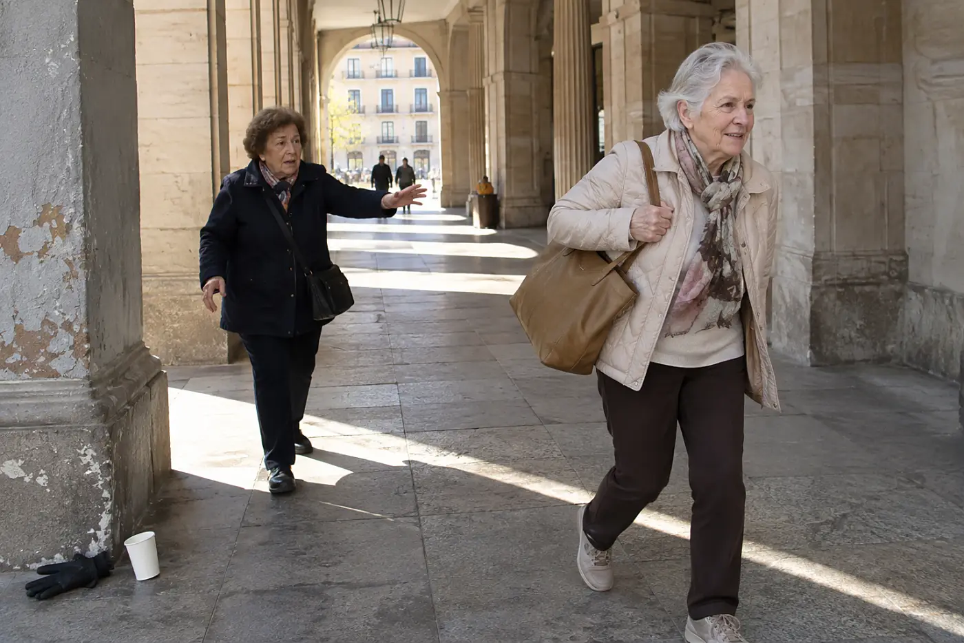
Rain makes every exposed pause less appealing.
An arcade or covered walkway lets you slow down without hunting for a doorway. Check that it connects the streets you need; a covered shopping passage with one entrance doesn't shorten an outdoor route. Street-level photos show its openings, but check whether the far end closes after hours.
If you guessed wrong, you're back outside with wet pavement ahead. The detour costs time the shelter was supposed to save.
This week, trace both ends of a promising covered passage on the map. “Does this walkway come out near the square?”
The ground beneath that shelter matters too.
10Paving that stays steady in rain
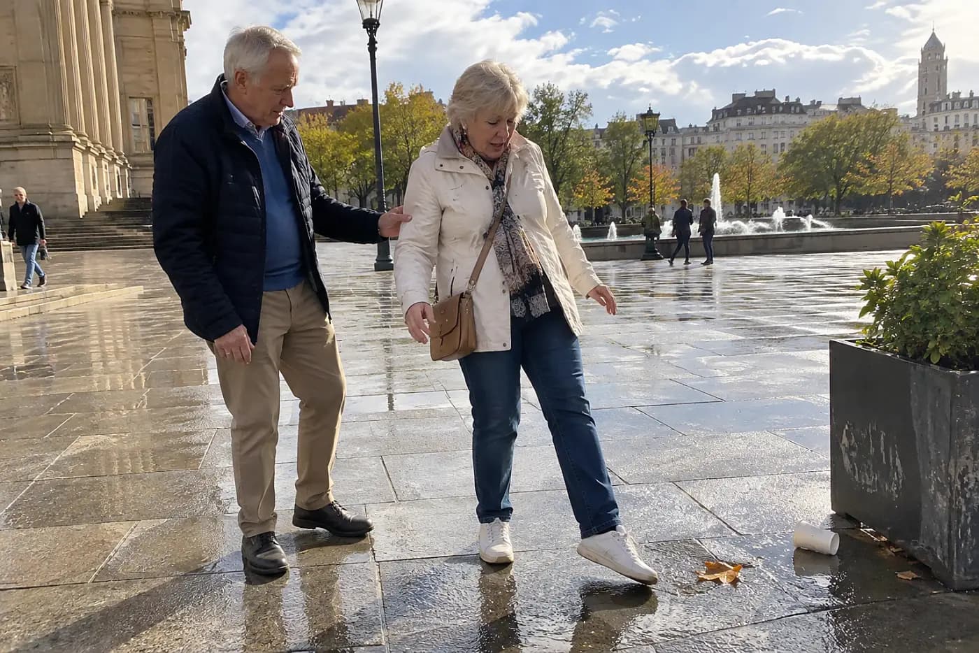
Glossy stone looks different under wet shoes.
Smooth surfaces grow slippery when water collects, while uneven pavers demand constant attention. You don't need a technical rating to notice whether a route has drainage, mats at entrances, and a clear path around puddles. The National Weather Service gives the forecast; it can't tell you how a particular plaza feels underfoot.
A hurried crowd on slick ground makes you choose between keeping up and watching your step.
This week, save an alternate street for any plaza with polished stone or sloped paving. On a wet day, test the surface with one careful step before joining the flow. “Is there another entrance without the stone steps?”
The entrance itself can undo a well-chosen approach.
9A museum entrance away from the main stairs

The grand front door isn't always the easiest door.
Museums list entrances on their own visitor pages, and the accessible one isn't always obvious from the street. Check its address rather than assuming both doors share a corner. Smithsonian visitor information shows how an institution presents arrival details across multiple sites.
Circling a large building costs more walking than taking the right approach first.
This week, open the venue's official visit page and save the exact entrance. “Which door is closest to the elevator?”
Inside, find out what happens before the exhibits begin.
8A coat check near the museum door

Carrying a bag makes every slow step feel longer.
A coat check or locker gives you somewhere to leave what you don't need inside. Policies differ, and some venues restrict bag sizes rather than storing bags. Read the museum's visitor rules before arriving with a suitcase or a full tote.
Without that check, you either carry the weight all afternoon or change plans at the counter. Neither choice feels good while a line forms behind you.
This week, look up the bag policy for one booked museum and note whether storage exists. Pack what you need for the walk in a smaller bag that stays with you. “Is there a place to leave my coat before I start?”
Once your hands are free, the layout decides how long you stay.
7A loop route through the galleries

A one-way exhibition turns fatigue into a long exit.
A floor plan shows whether the galleries circle back toward the entrance or end across the building. It also shows lifts, seating, and restrooms. Ask for a map at the desk if the online version is hard to read.
Otherwise, you reach the final room and discover the way out is another walk.
This week, circle your stopping point on the venue's floor plan before you go. “If I stop here, what's the shortest way out?”
Outside, the city's own signs take over.
6Street signs visible from the sidewalk

A sign you can't read forces extra steps.
Street names mounted high or hidden by trees make each junction a small guessing game. Route apps help, but your phone's dot can drift between close streets. The U.S. Geological Survey provides map resources; for a city walk, a saved street map and visible corner names are the practical pair.
One wrong turn doesn't sound costly until it ends at another wide road. Then you must cross back or walk the block again.
This week, download an offline map of the neighborhood you're visiting. At each uncertain junction, stop clear of the walking line and match the street name before turning. “Is this the street that leads to the riverfront?”
The next sign should tell you how far the detour goes.
5Distance markers along the waterfront path

A beautiful path can hide its return distance.
Markers and maps at path entrances show where the next exit lies. Look for the distance back, too. Without that information, an inviting level walkway keeps drawing you farther from transit than you meant to go. Open the local parks department's trail map before setting off.
Turn around too late, and the same stretch waits for you again. This time, you have less daylight and less energy.
This week, identify two exit points on a waterfront walk. “Where can I leave the path before the next bridge?”
An exit only helps if there's a ride nearby.
4A taxi pickup point off the busy curb

Leaving shouldn't require waving into moving traffic.
A designated pickup area gives a driver and passenger a place to find each other. At airports and major stations, follow the site's official ground transportation directions rather than a map pin alone. At a museum, ask staff which street has a lawful, easy-to-reach pickup point.
If your ride stops across a divided road, getting there becomes the hardest part of the day. A precise pickup address avoids that scramble.
This week, save the pickup point for the final stop on your itinerary. Check whether you need to reach it through another exit. “Which door should I use to meet a car without crossing the main road?”
Before that last ride, check how the day's route began.
3A hotel entrance on the quieter street

The shortest address isn't always the shortest arrival.
A hotel with doors on two streets can put you near different crossings, hills, or transit stops. Its official directions and recent entrance photos help you choose the right side. Don't rely on the center of the hotel's map pin.
Arrive at the wrong door, and you start your stay hauling luggage around the block.
This week, call your hotel and confirm the entrance address you'll use on foot. “Which entrance has the shortest level walk from the station?”
That answer still leaves the grade of the street.
2A flatter route around the steep block
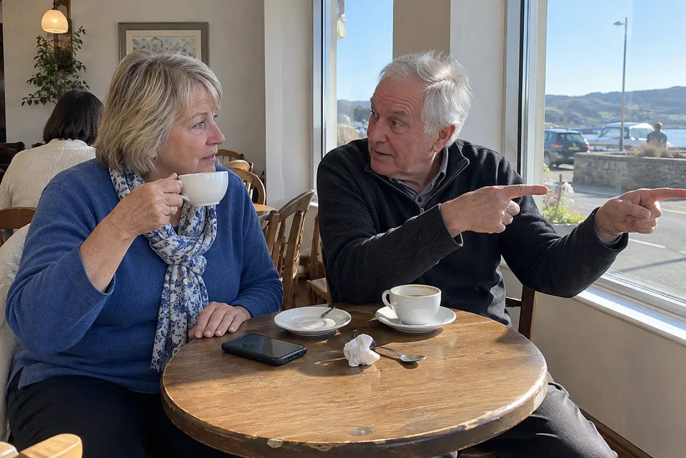
The direct line can be the tiring line.
Map directions favor short routes, while a longer street can climb less. Terrain view and street-level images reveal slopes, stairs, and switchbacks that a route summary hides. For US destinations, USGS topographic maps provide terrain context, though street views are easier for judging a particular block.
An uphill shortcut takes time and breath before you've even reached the attraction. Choosing the flatter way in advance lets you walk at your pace without negotiating with anyone behind you.
This week, compare two routes from your hotel to the first place you plan to visit. Look at the uphill blocks in both directions; the return walk counts too. “Is there a flatter way there, even if it's longer?”
One final test tells you whether that route is usable at the busiest corner.
1A timed walk across the actual intersection

A countdown can turn your normal pace into a public race.
Pedestrian signals have a walk interval followed by a flashing don't-walk interval. Under the Federal Highway Administration's Manual on Uniform Traffic Control Devices, the flashing interval is meant to let someone who has already started finish crossing. Don't step off once the flashing hand appears.
The important question is whether you can start on the walk signal and reach the far side at your own steady pace. A phone map can't answer it. Neither can the person rushing past you.
This week, go to the intersection you'll actually use, or ask a travel companion to check it before you arrive. Watch one full cycle from the curb.
When the walking figure appears, cross at your normal pace without speeding up for the timer. Notice the turning cars and the far-side landing. Check whether you reach it before cross traffic gets its signal. If the crossing feels unsafe, stay on the curb and choose another route. “Can we take the crossing where I have time to walk normally?”
Keep that result for the next time a map calls the shortest route the best one. The line on the screen says nothing about your time at the curb.
The bottom line
A kind walking city gives you a place to pause and a route that doesn't demand a sprint.
You've checked the doors, stops, slopes, and crossing you'll actually use before the day begins.
Where have you found yourself hurrying to keep up on a city walk?
Bonus: The crossing test that tells you whether to change routes
- Pick the intersection on your planned route, not a nearby easy-looking one.
- Stand back and watch a full signal cycle, including turning cars.
- Start only when the walking figure appears. Walk at your normal pace.
- If you don't reach the far curb before cross traffic gets its signal, save a different crossing or route.
Margaret Hale
Travel & Lifestyle Editor
Margaret has covered travel for 25 years and has ridden every long-distance train route in the U.S. at least once.
You might also like